1.28.2007
1.25.2007
Iron Mountain Gap to Low Gap
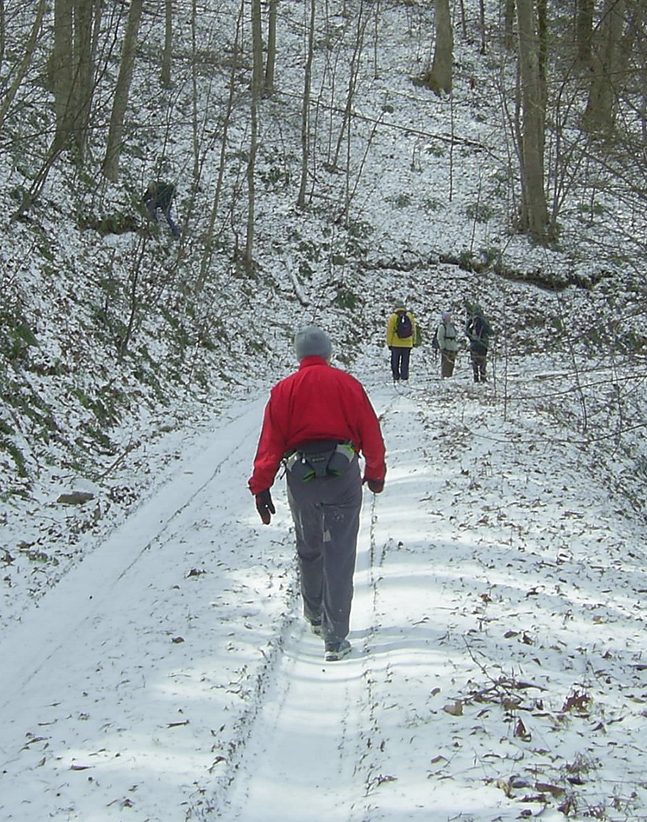
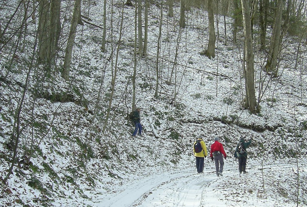
The Oldtimers hiked on the AT recently from Iron Mountain Gap to Low Gap. After breakfast at Clarence's, mom, Susan, Debi, and I rode with CB up to the gap while Howard, Lisa, and Mike followed Bill to Red Fork Rd to leave a shuttle. While waiting on the other hikers at Iron Mountain Gap we saw several Ravens (or possibly the same one several times). The 'whoosh-whoosh' of their wings could also be heard as they flew overhead.
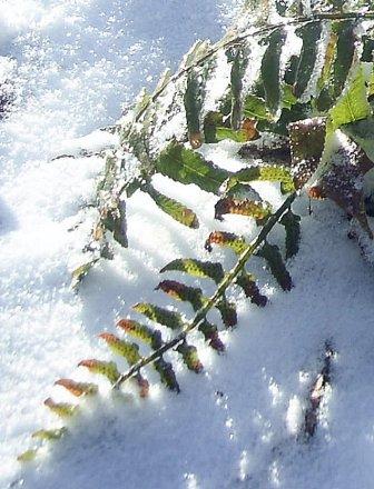
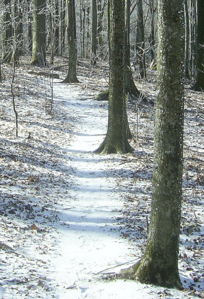
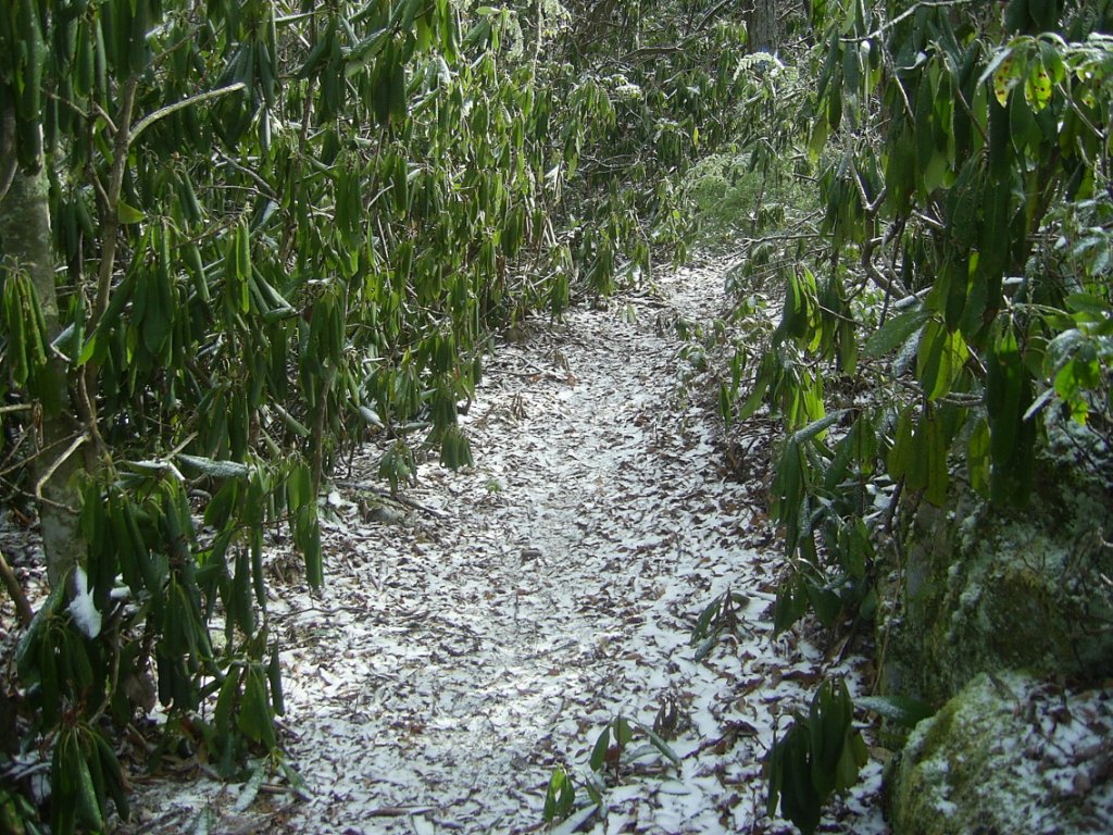
There were a few inches of snow on the ground and a coating of hoarfrost on the trees. We hiked up to Little Bald Knob (not actually a bald anymore, though according to CB it once was). We climbed from about 3723 ft at Iron Mountain Gap up to 4459 ft at little bald knob in about two miles.
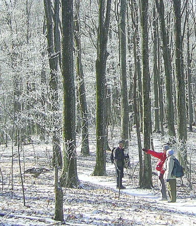
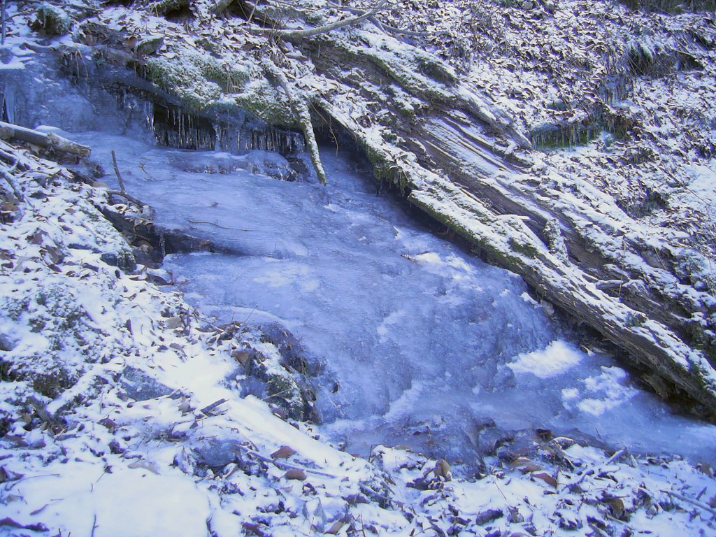
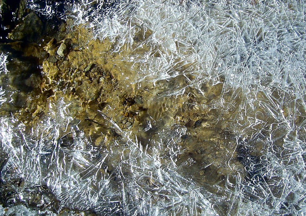
The water seeping through the exposed rock face created this frozen cascade
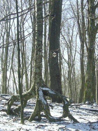
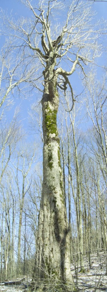
This birch was either making it's way for North Carolina or sneaking into Tennessee. I'm not sure which.
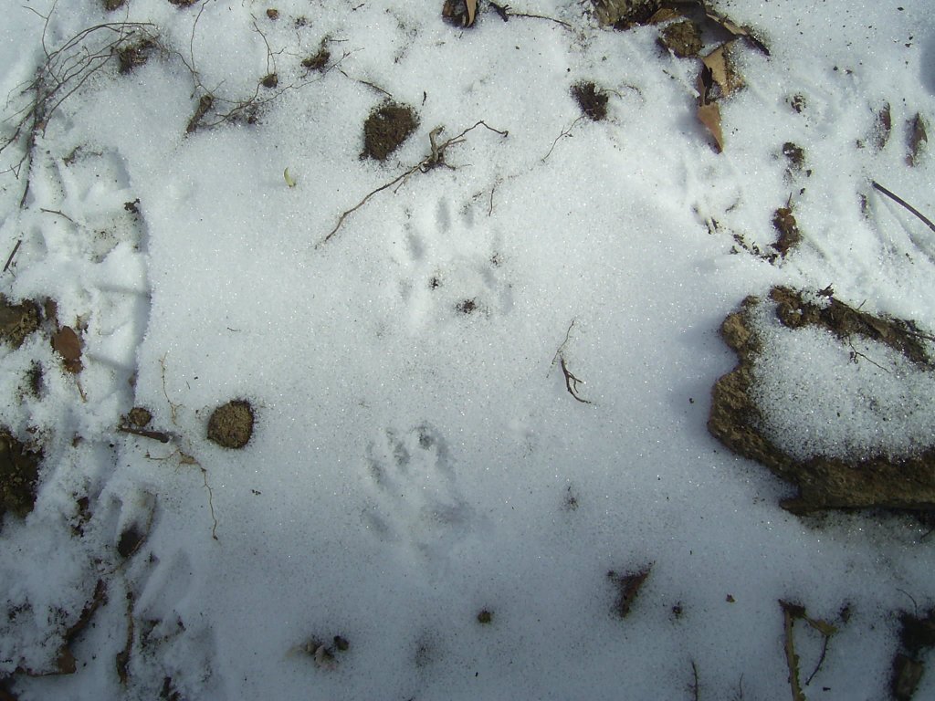
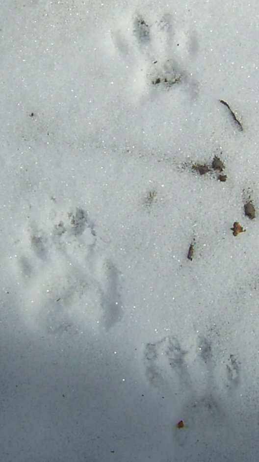
As we descended from the knob saw some wild turkey tracks, maybe some bobcat tracks, and definitely some raccoon tracks.
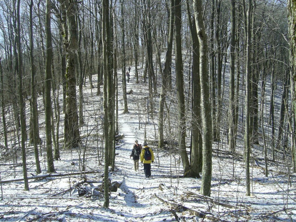
Passing through Cherry Gap, Howard commented that the gap is the "official" dividing line between Iron Mountain and Unaka Mountain. We stopped for a bite at the Cherry Gap shelter, checked out the "landscaped" piped spring, and relocated a fire pit that had been moved to close to the shelter.
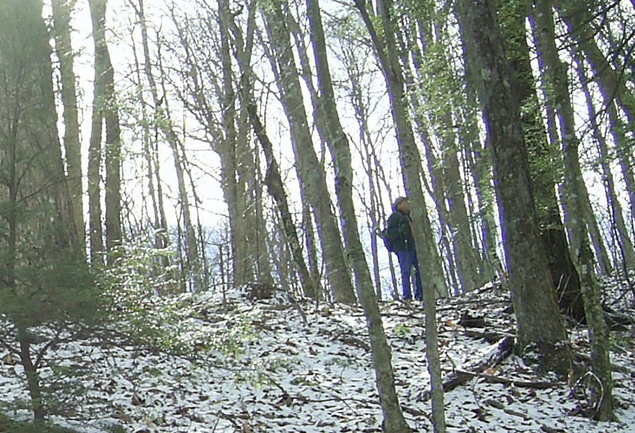
Ascending from Cherry Gap after lunch we climbed back up about 500 ft and then descended again on our way down to Low Gap, but just before the last hill we bushwhacked down off the AT to FS 4344 below the trail.
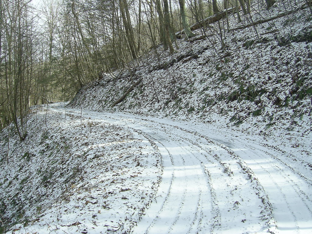
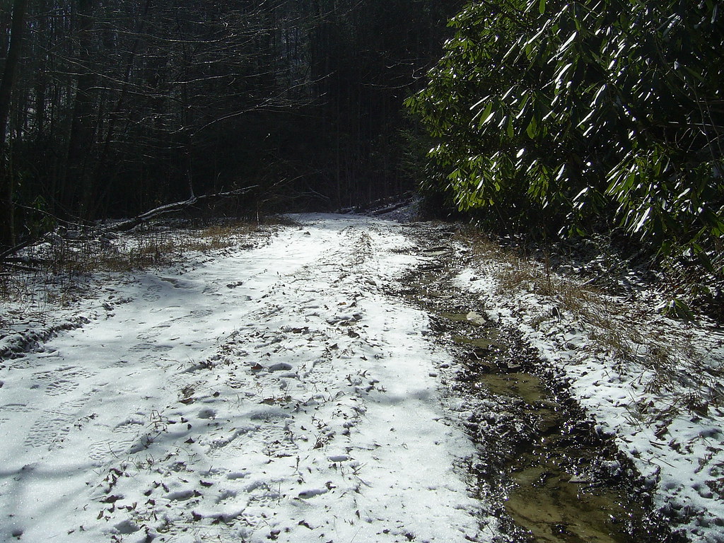
We followed this road to where it joins 230 (turning left on 230 instead of right would take one all the way across Unaka to Indian Grave Gap on the other side). We then followed 230 down to the gate where Bill's truck had been left for a shuttle.
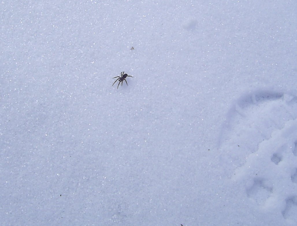
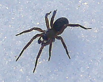
Spotted this spider on the road near the gate. I wasn't sure if she was alive, but she moved a little after I nudged her. She was just very, very cold. Even in the afternoon the temperature was near freezing.
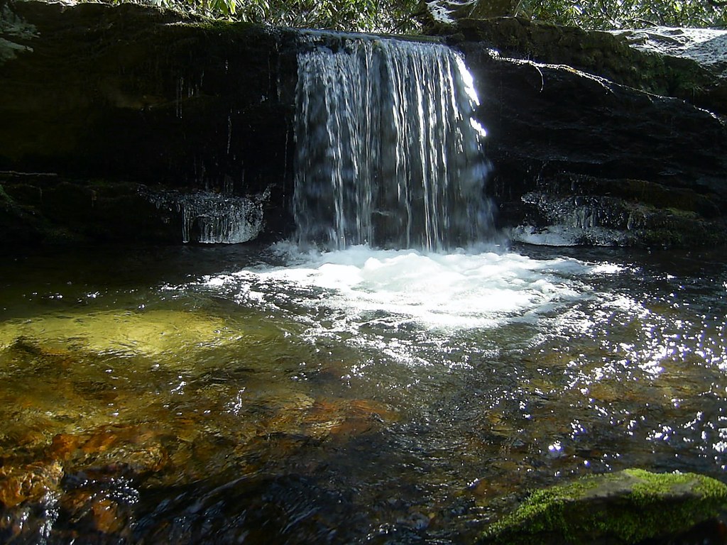
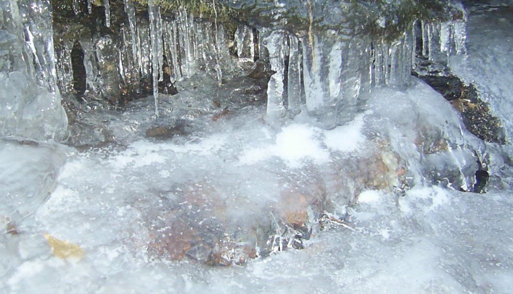
Small cascade near the gate on Red Fork Rd.
This was a very good hike and my second with the Oldtimers. It was only about 6 miles including the distance on 4344 and 230, but strenuous at times. I look forward to revisiting this section (among other places) in a few months when the ephemerals are out.
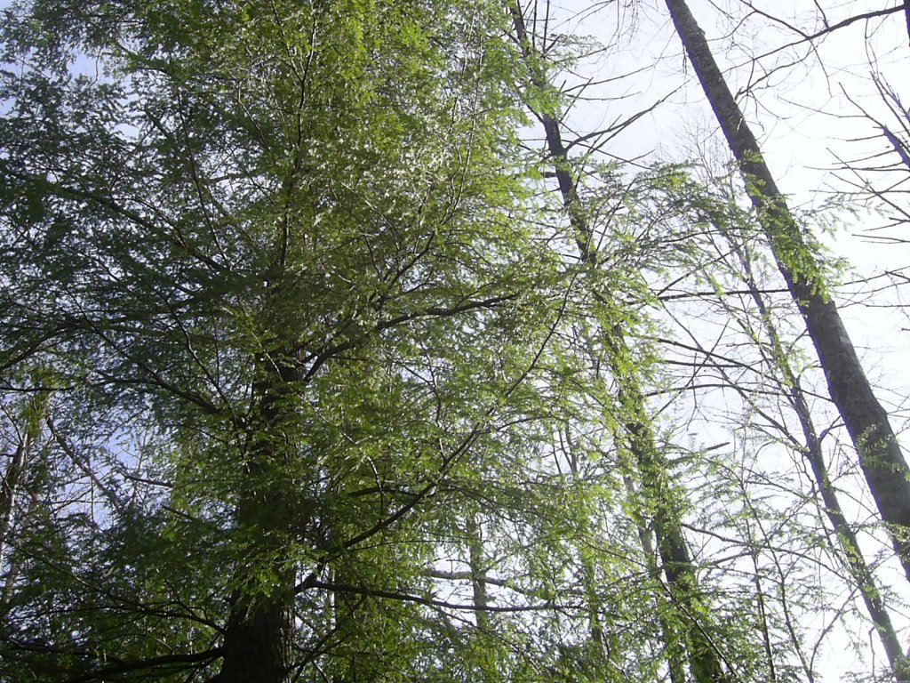
1.17.2007
Rattlesnake Ridge Hike
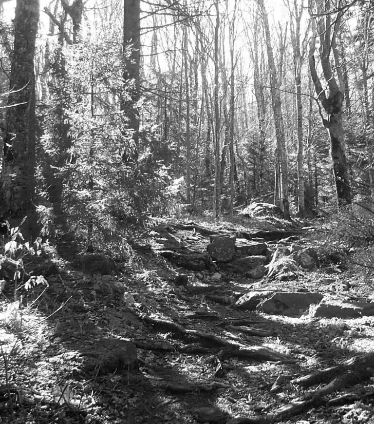
I hiked for the first time with the Oldtimers recently. After breakfast at Clarence's in Unicoi we drove to Rock Creek Park and climbed up the Rattlesnake ridge trail to the Unaka Mountain overlook and back. This is about a ten-mile hike and pretty strenuous.
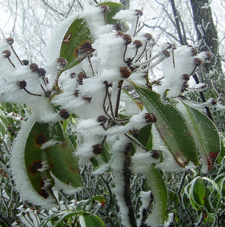
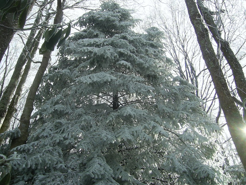
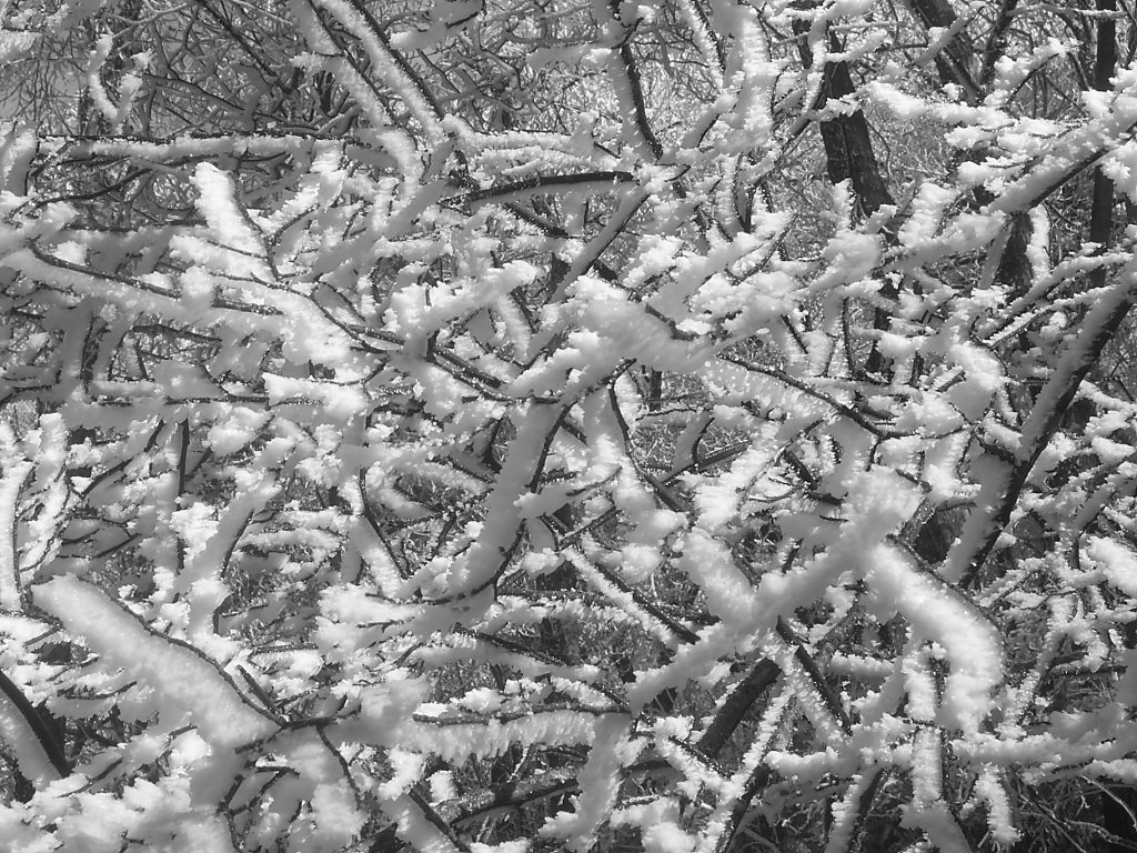
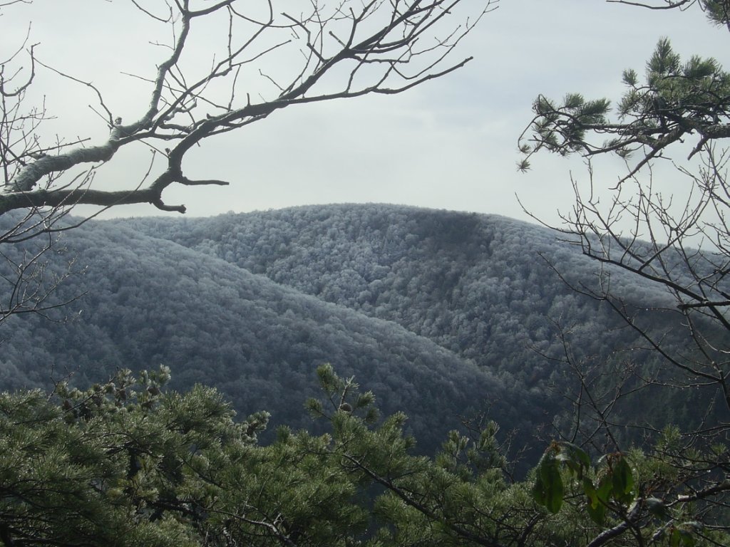
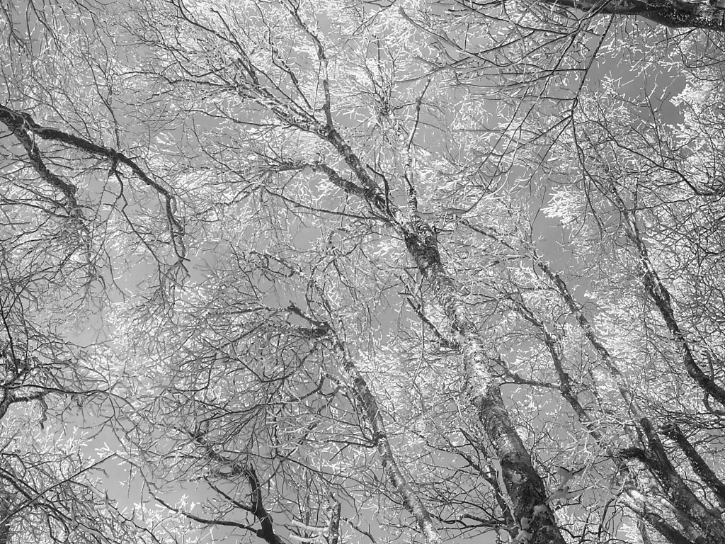
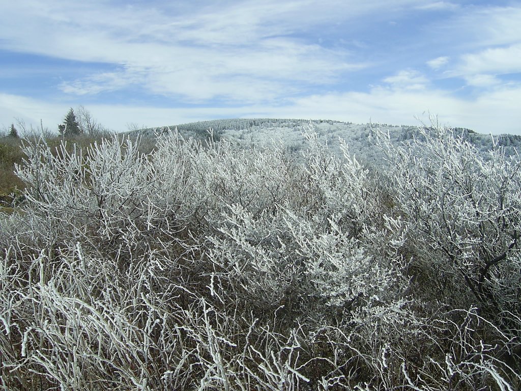
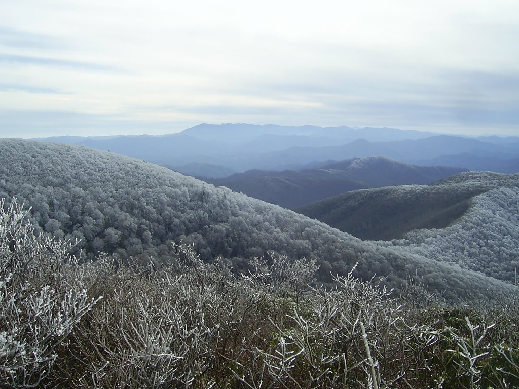
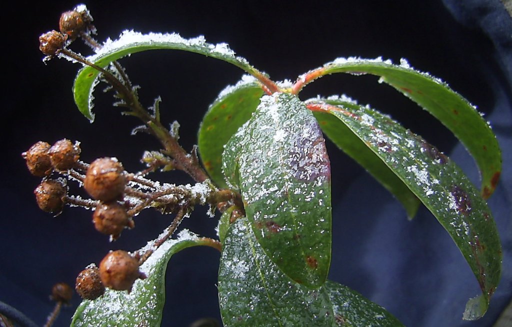
I love this trail though and have hiked it many times. This time of year is especially beautiful. As one climbs the ridge up to nearly a mile high the flora is often covered with an icy coating of hoarfrost.
The wind through the frozen tops of the trees made a rattling tinkling sound like a crystal chandelier.
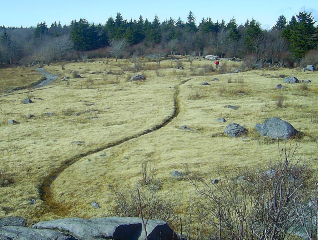
From Pleasant Fields at the end of the trail the rounded summit of Unaka Mountain could be seen above us as well as the frosted tops of other distant ridges.
The wind was blowing up at the overlook and the temperature before factoring windchill was about 30 degrees. Needless to say, we didn't take very long for lunch and quickly got back into the woods and down the mountain...
1.14.2007
New Years Day Hike
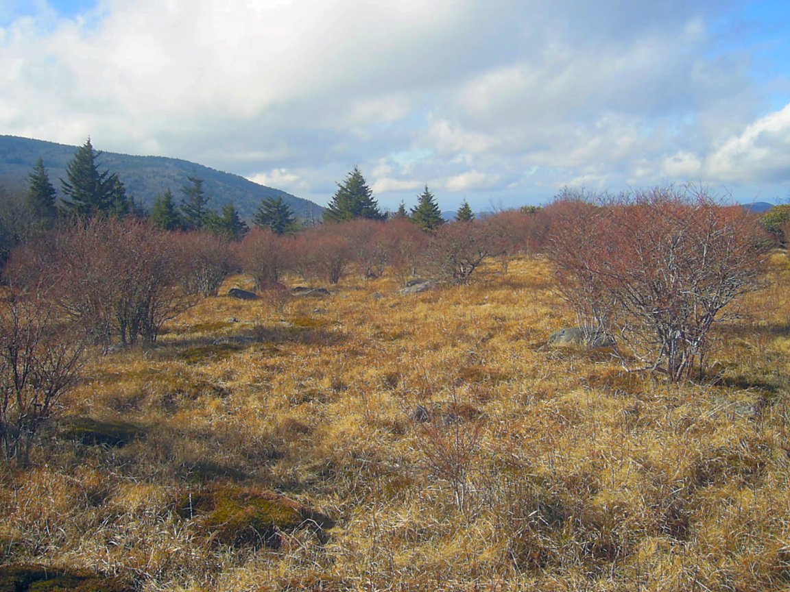
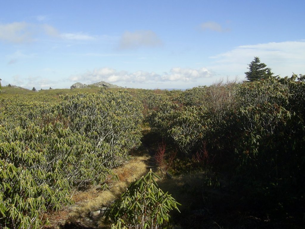
The JC Hikers, Oldtimers, and Mid-Appalachain Clubs hiked Mt Rogers on New Years Day. This is a tradition to hike Mt Rogers every year, but it was my first year joining them. We hiked through the Lewis Fork Wilderness Area on the Appalachain and Pine Mountain Trails up nearly to Rhododendron Gap and back.
Subscribe to:
Posts (Atom)
About Me
- Loki
- This blog is a work in progress. An ardent perambulator and nature enthusiast; I take pictures of what I see and post them here occasionally.
Blog Archive
- March 2013 (1)
- August 2012 (2)
- June 2012 (1)
- May 2012 (1)
- January 2012 (1)
- December 2011 (2)
- August 2011 (1)
- September 2010 (1)
- June 2009 (1)
- May 2009 (2)
- February 2009 (6)
- December 2008 (2)
- October 2008 (1)
- September 2008 (4)
- August 2008 (2)
- July 2008 (1)
- June 2008 (1)
- May 2008 (9)
- April 2008 (21)
- March 2008 (4)
- February 2008 (7)
- May 2007 (3)
- March 2007 (2)
- January 2007 (8)
- December 2006 (1)
- November 2006 (9)
- October 2006 (20)
- September 2006 (19)
- August 2006 (8)
- July 2006 (16)
- June 2006 (40)
- May 2006 (52)
- April 2006 (26)
- March 2006 (23)
- February 2006 (15)